

THIS rare map of shows Worcester just before the bloody end of the Battle of Worcester in 1651, the last battle of the English Civil War.
The map by Henry Seile, the King’s Stationer, will be on show in an Exhibition of Antique Maps on Saturday, May 2 at 11am in Brampton Bryan, North Herefordshire.
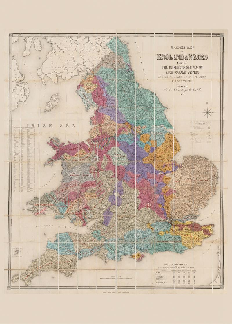
The Stanford Railway Map of 1871 (also in the exhibition and pictured here) will also be on show.
The exhibition has been launched by Aardvark Books and is the fourth and largest annual exhibition of antique maps of the Marches and Wales.
This year’s exhibition concentrates more on the maps themselves, rather than on telling a chronological story. It contains over 150 maps from between 1607 and 1871, a few of them not seen in public for many years, and many rarities.
The 1651 map was printed in 1660 and is a near contemporary record of the last and defining action of the war.
Used as the basis for the map in Nash’s two volume history of the county published in 1781, Seile’s map is full of energy and is described as an "entirely effective representation of warfare at its bloodiest".
All maps are for sale and prices range from £25 upwards. Entry to the exhibition is free, as is parking on site.


Comments: Our rules
We want our comments to be a lively and valuable part of our community - a place where readers can debate and engage with the most important local issues. The ability to comment on our stories is a privilege, not a right, however, and that privilege may be withdrawn if it is abused or misused.
Please report any comments that break our rules.
Read the rules here