
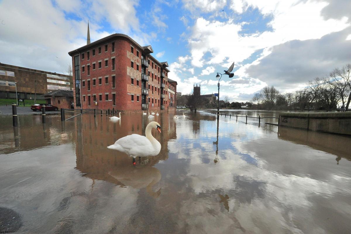
THE RIVER level is predicted to begin falling in Worcester today (Friday) after reaching its peak overnight.
However, with more rain forecast for Saturday the water may rise once again to the levels seen earlier this week.
On Thursday afternoon six flood warnings were in place across Worcestershire, including two for Worcester, along with three flood alerts.
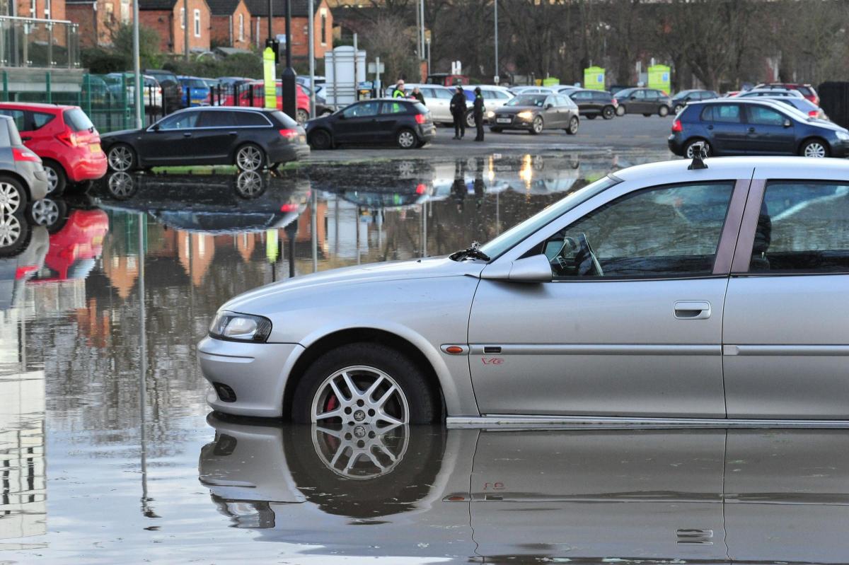
Worcester City Council was yesterday (Thursday) blocking off areas of the Pitchcroft Car Park as flood water continues to rise.
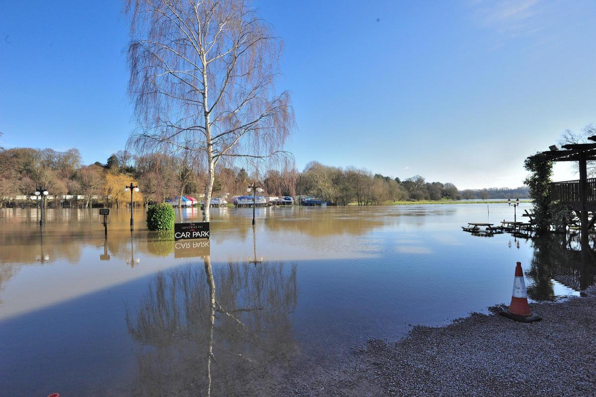
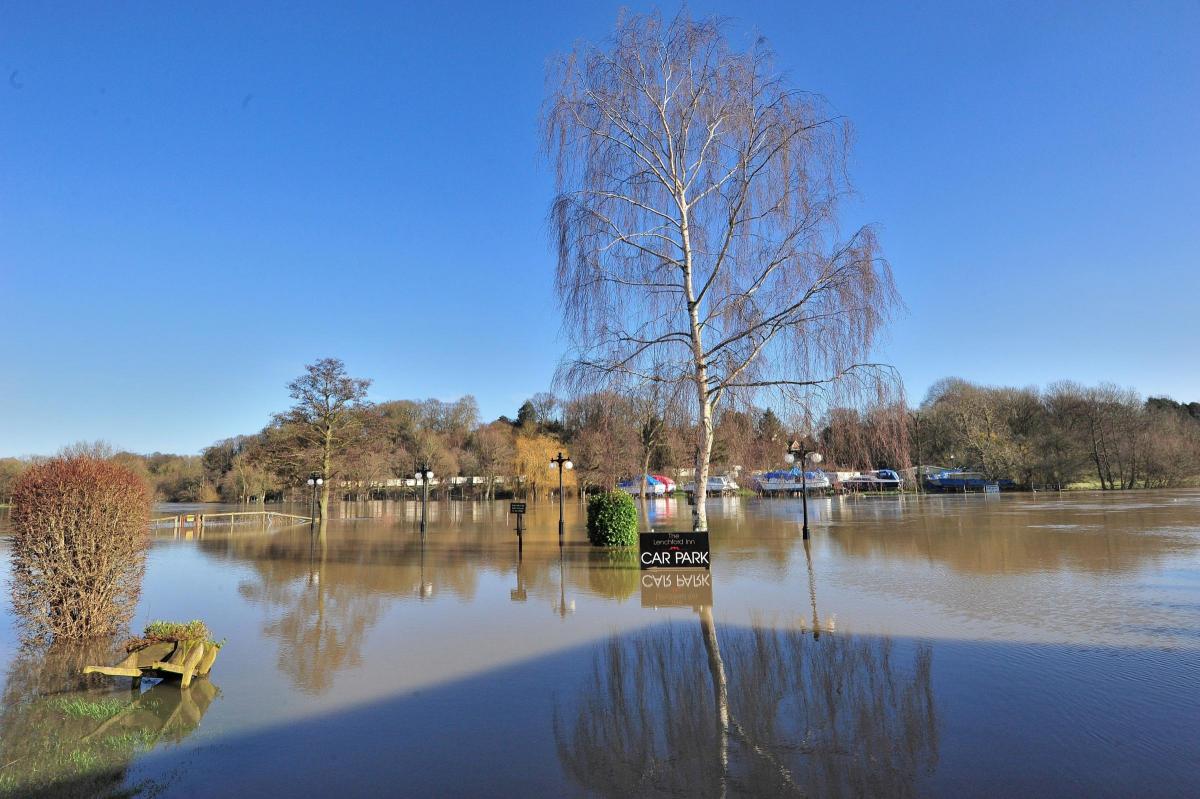
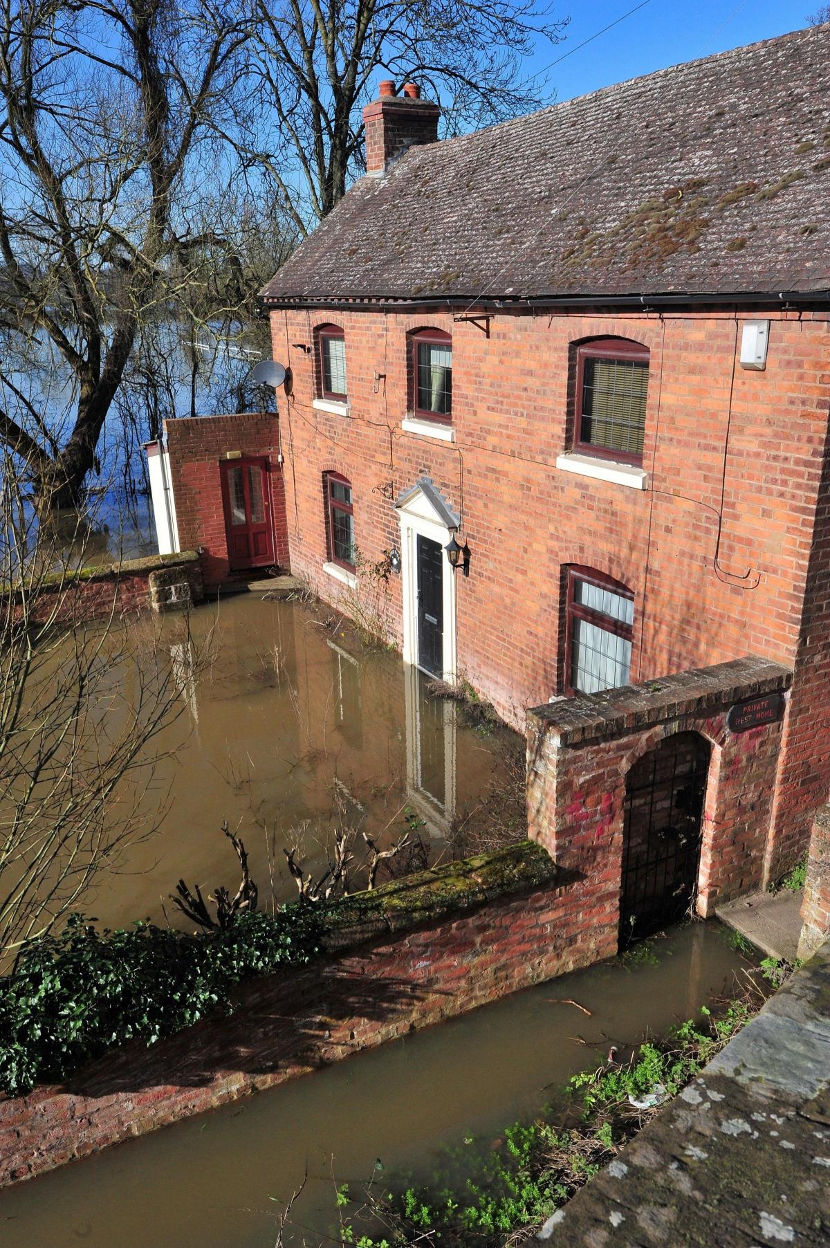
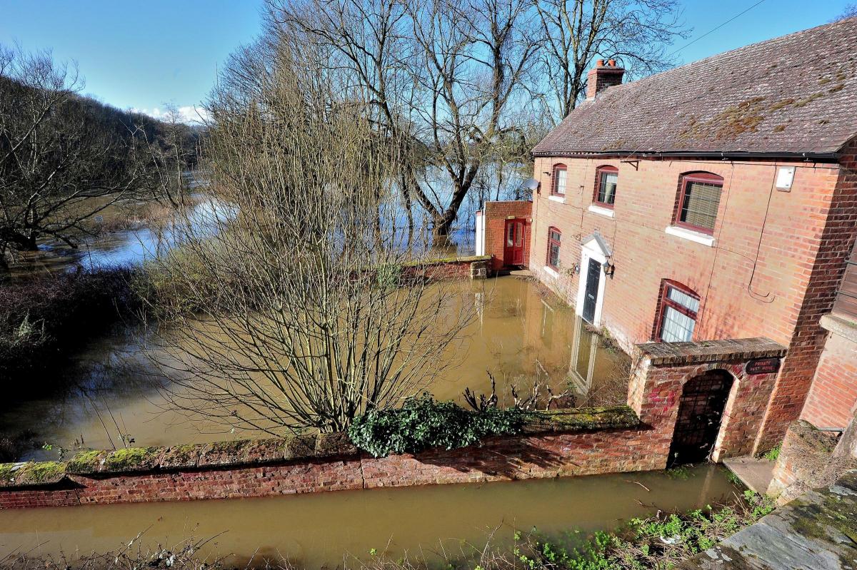
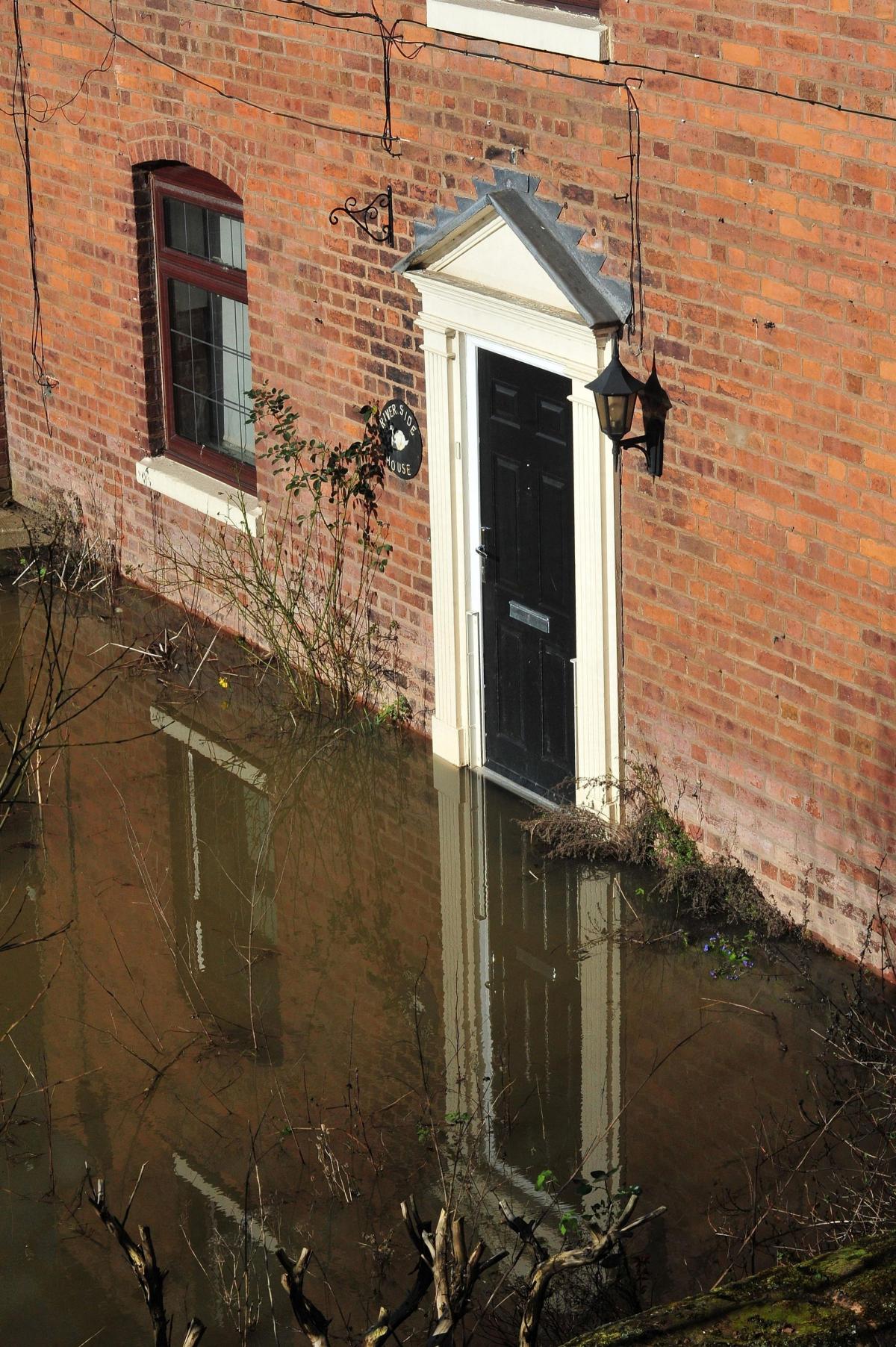
Despite barriers and flood gates being implemented in Bewdley, parts of the Holt Heath were flooded on Thursday, along with Worcester Racecourse, the Pitchcroft Car Park and Worcestershire County Cricket Club.
Kelly Southgate, who owns The Wharf Inn at Holt Fleet, said three-quarters of its car park had been flooded.
She said: "It hasn't come into the pub yet but a flooded car park is pretty standard. Obviously, it is difficult for people to get in. We have to clear the mud off the car park."
Flood defences were implemented in Upton-upon-Severn and several roads remain closed, including Hanley Road, New Street and Dunns Lane.
The Environment Agency (EA) is also warning Pitchcroft Lane, Waterworks Road, Hood Street, Quay Street and Newport Street in Worcester could also be affected by flooding.
A spokesperson for the EA said yesterday: "The River Severn will reach peak levels overnight tonight [Thursday] in Worcester and will then start to drop.
"More rainfall has been forecast for Saturday, which may raise the levels again to similar levels, but no higher, than we have experienced.
"The river levels across the county are comparable to what we have seen this winter so far.
"Due to the seasonally high river levels, several flood alleviation schemes have been operational. We have also shut flood gates and deployed barriers to reduce flood risk for communities at: Bewdley, Kempsey, Upton-upon-Severn and Uckinghall.
"We are closely monitoring the weather and its likely impacts and we also have teams out clearing debris on key watercourses to ensure water can flow."
The Met Office is forecasting cold weather to continue well into next week, with some sleet and snow predicted to fall across the West Midlands on Saturday.
Overnight into this morning (Friday) temperatures will stay above freezing, dropping to around 4°C. And showers are forecast for mid-morning today, followed by more cloud.
Sunday is currently forecast to experience the coldest weather, with highs of just 5C and lows of 1C overnight into Monday.
For further information visit gov.uk/check-if-youre-at-risk-of-flooding or follow @EnvAgencymids.
For all the latest flooding and weather updates visit worcesternews.co.uk


Comments: Our rules
We want our comments to be a lively and valuable part of our community - a place where readers can debate and engage with the most important local issues. The ability to comment on our stories is a privilege, not a right, however, and that privilege may be withdrawn if it is abused or misused.
Please report any comments that break our rules.
Read the rules hereLast Updated:
Report this comment Cancel