

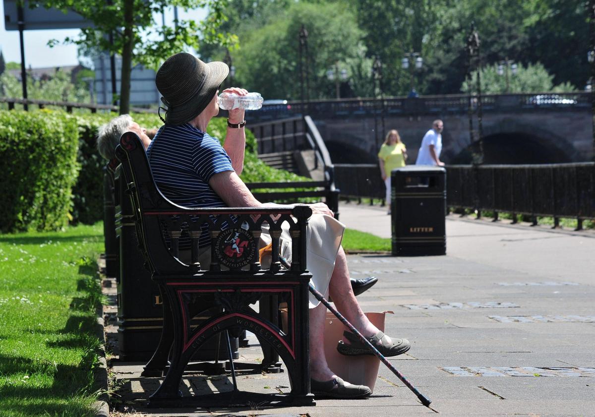

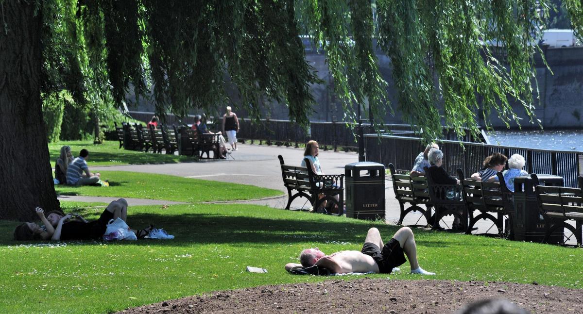
WORCESTER residents have been enjoying the sweltering heat but have been warned to enjoy it while it lasts.
Temperatures at one point on Friday reached a scorching 27C - making it the hottest day of the year so far.
The higher temperatures have been caused by a high pressure system over the British Isles which has been around the last few days, and with little cloud cover temperatures have continued to push the mercury upwards.
But Malvern weatherman Frank Hill has warned that the weather is set to change in the coming days, with possible thundery showers on the way, and temperatures dropping.
Mr Hill said: "I have recorded a peak of 27.5C, hotter than Thursday's 26C.
"But there is going to be quite a big change.
"Saturday will still be warm and sticky, with possible short periods of thundery showers.
"Sunday will not be as warm, and for the Bank Holiday it will be struggling to get up to 17C."
Mr Hill said the last time the temperatures reached these highs in May was in 2012, and in other years when there has been a hot May period, unsettled weather has generally followed throughout the summer.
"We have had high pressure over the last six months, more than normal - I fear a long period of unsettled weather," he added.
Nationally weather warnings have been issued for a deluge of rain and thundery outbreaks between noon and Sunday, with the possibility of localised flooding.
Met Office spokesman Oli Claydon said: "The key thing I would point out is a lot of the rainfall that's likely to come over the weekend is showers and some may get it and some may not.
"It is variable but where those showers do occur they could be quite intense."
He added that from Tuesday another front is set to move in from the west bringing more cloud and rain.


Comments: Our rules
We want our comments to be a lively and valuable part of our community - a place where readers can debate and engage with the most important local issues. The ability to comment on our stories is a privilege, not a right, however, and that privilege may be withdrawn if it is abused or misused.
Please report any comments that break our rules.
Read the rules here