

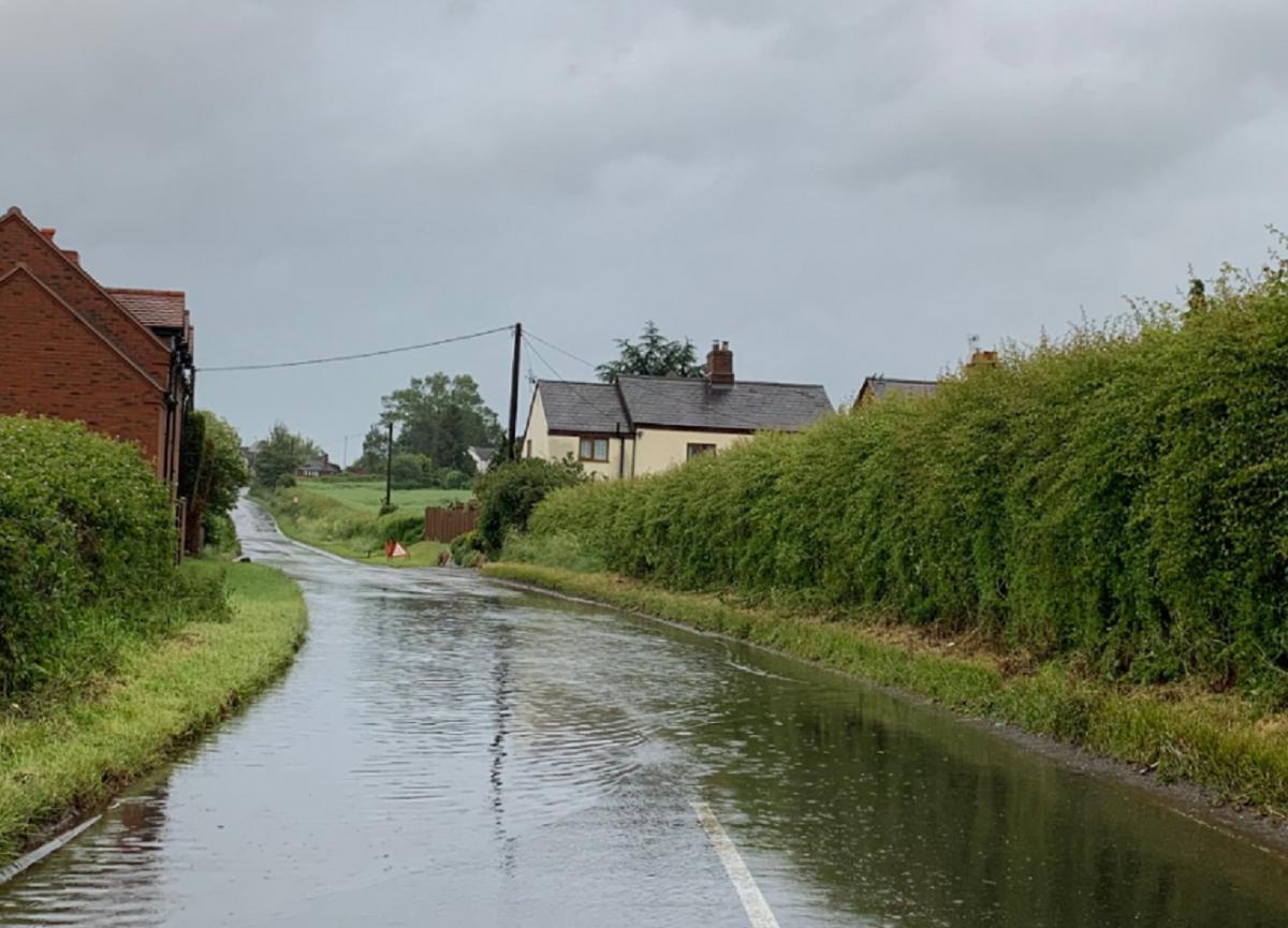
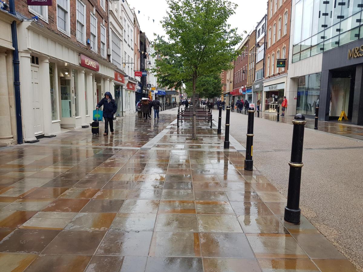
A WEATHER warning has been issued as heavy rain continues to lash down across the county.
Yellow weather warnings are in place across the country, including the Midlands, with 10-25mm of rain expected with some areas potentially seeing up to 60mm.
They are part of a series of weather warnings issued across the country, according to the Met Office. Forecasters predict that some areas of the UK could be inundated with up to 100mm of rain this week.
The alert states that homes and businesses are likely to be flooded, causing damage to some buildings. It also states that some communities could be cut off by flooded roads.
Commuters may face travel delays or cancellations to train and bus services due to heavy rainfall that could lead to flooding and disruption to transport.
Dave Throup, environment agency manager for Herefordshire and Worcestershire tweeted: “Heavy rain and thunderstorms continue to affect most of our patch today and tomorrow.
“Surface water and minor river flooding risk remains raised. Expect very poor travelling conditions.”
West Mercia Specials tweeted: “Torrential rain is causing flash flooding in many areas. Please do not drive through deep flood water.
“By entering flood water, you are potentially risking your own life and those of the Emergency Services.”
The Environment Agency has also issued a number of flood warnings and alerts. The downpours led to flooding across roads and railway lines, with some areas being hit with more than a month’s worth of rain in a day.
Today (June 12) it will be cloudy for much of the day with showery outbreaks of rain and a risk of thundery downpours going into Thursday.
Last weekend Storm Miguel hit the county with strong wind and rainfall.
High winds saw trees come down but Worcestershire escaped the worst of the weather.
READ MORE:
Pensioner claims 'disgusting' bus service has resulted in her ill husband missing doctor’s appointmentsWorcester student released song as tribute to friend who took his life

Comments: Our rules
We want our comments to be a lively and valuable part of our community - a place where readers can debate and engage with the most important local issues. The ability to comment on our stories is a privilege, not a right, however, and that privilege may be withdrawn if it is abused or misused.
Please report any comments that break our rules.
Read the rules here