


FLOODING has come to Worcestershire in the aftermath of this week’s Storm Christoph.
Though not to the level of 2020’s floods, which saw large parts of the county devastated by flooding, some localised floods have been reported and flood barriers have gone up.
In Upton, New Street was closed on Wednesday afternoon as the rain came down, with flood pumps being installed in towns across Worcestershire.
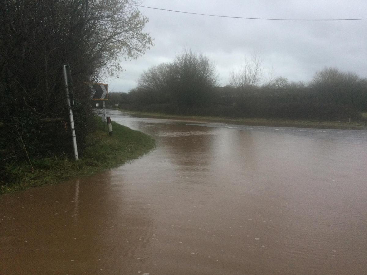
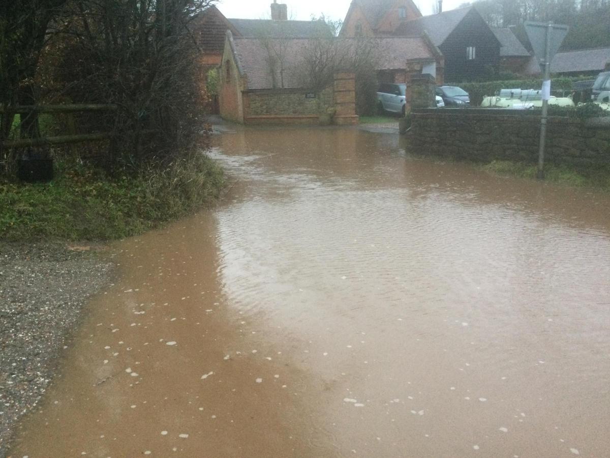
In Alfrick, a flooded stretch of road led one councillor to attack the way Worcestershire County Council has handled the issue.
Photos sent in by Malvern Hills district councillor Peter Whatley show flooding on the A44 at Doddenham Barns, with a collapsed drain causing excess water to flow onto the nearby buildings from the road.
READ MORE: Worker claims covid-safety rules are not being followed at Worcester Sainsbury's warehouse
Cllr Whatley said the issue should have been fixed months ago, calling on Worcestershire County Council to take action.
He said: “The situation is sadly typical of issues caused by lack of regular maintenance by Worcs CC Highways.
“Residents’ properties and daily lives are being affected by this issue across the county.
“It’s time Highways stepped up to their responsibilities and had a proper plan for regular drainage maintenance and repairs.”
Responding to Cllr Whatley’s comments, a Worcestershire County Council highways department spokesman said: “We are aware of some drainage issues in Suckley and are continuing to work with the local members and liason engineers to resolve these issues.”
READ MORE: Iconic Brays building in Malvern given a new paintjob as refurbishment continues
Looking ahead to the weekend, the rain and wind appears to be dying down, with much more settled weather on the way.
Despite this, the Environment Agency is warning river levels could still rise across Worcestershire with flows coming down from Wales and Shropshire.
On Wednesday, the agency said water levels are expected to peak on Saturday at between 4.2 and 4.7m (Bewdley), 5.3 and 5.5m (Worcester), 4.6 and 4.8m (Diglis), 6.4 to 6.8 (Kempsey), 4.7 to 5.1m (Saxons Lode).
A spokesman said: "Further rainfall is forecast over the next 24 hours and we expect river levels to remain high over the next few days. We are closely monitoring the situation and our staff are checking defences. Please plan driving routes to avoid low lying roads near rivers, which may be flooded."


Comments: Our rules
We want our comments to be a lively and valuable part of our community - a place where readers can debate and engage with the most important local issues. The ability to comment on our stories is a privilege, not a right, however, and that privilege may be withdrawn if it is abused or misused.
Please report any comments that break our rules.
Read the rules hereLast Updated:
Report this comment Cancel