

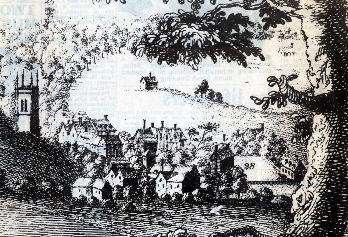


SACRE Bleu, Zut Alors, Sacha Distel and all the rest, whoever would have thought that Diglis, that so typically Worcester area of Worcester, might have a French connection?
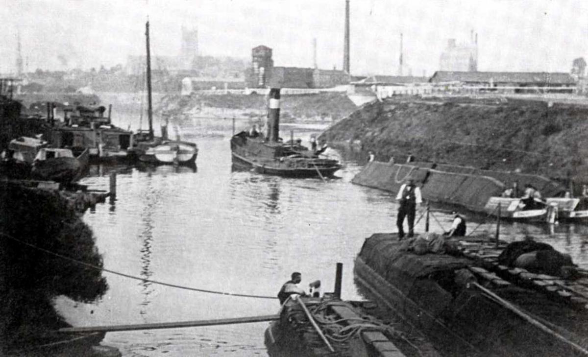
For more than a thousand years, well before the River Severn became a waterborne highway turning Diglis into a bustling inland port and more lately covered by housing, it was verdant flat land and the home meadow of the Church in Worcester.
The Cathedral was but a longbow’s arrow away and here stock was grazed and crops grown on the fertile flood plain. Across town, Pitchcroft acted in the same way for the citizens of the city.
There has always been some discussion about how exactly Diglis got its name. After all, the word seems to bear no relation to anything else previously in the vicinity. This led early scholars to come up with the suggestion it was a derivation of the French term “d’Eglise”, which means “of the church”. Although just how the ancestors of Thierry Henry or Emmanuel Macron, even Brigitte Bardot, rocked up in Worcester, let along had an influence on its local language, was somewhat glossed over.
Sadly a rather less glamorous alternative explanation was offered in a book called The Place-names of Worcestershire. Authored by historians A Mawer and FM Stenton, with a nod to a gentleman named FT Houghton, it suggested the area was first recorded as Dudeley, which in ancient English meant “a clearing belonging to someone called Dudda or Dydda” and had no connection with Gay Paree.
Either way, part of the huge meadow that comprised Diglis seems to have been retained by the bishops, providing them with hay and grazing ground, while part was allocated to the prior for similar purposes. In fact it was the first land outside the city limits to be given to the priory.
The meadow extended along the riverside from the city wall at the bottom of Frog Lane, as far as the tributary of Duck Brook and eastwards from the river to Green Lane, which is now Diglis Road. Excavations have shown this track dated back to prehistoric times and similar work has had similar findings beside the river at Ripple, near Upton upon Severn.
Much of the Diglis meadow was semi-marsh until well into the 20th century and subject to frequent flooding.
Efforts to alleviate this by creating wide and deep ditches, merely created obstacles of stagnant water, best negotiated by the use of leaping poles, such as used in the Fens of Norfolk.
Even in mid-Victorian times Diglis was advertised for its “capital snipe shooting and occasional wild duck”. But no Frenchmen. Have Merci.


Comments: Our rules
We want our comments to be a lively and valuable part of our community - a place where readers can debate and engage with the most important local issues. The ability to comment on our stories is a privilege, not a right, however, and that privilege may be withdrawn if it is abused or misused.
Please report any comments that break our rules.
Read the rules hereLast Updated:
Report this comment Cancel