
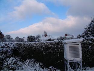
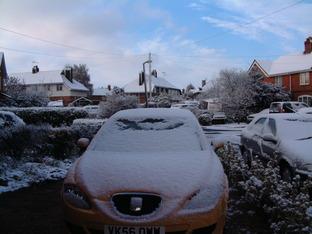
IN Britain winters are becoming more milder with snowfall and frost less frequent, although on occasions such as the winter season of 2008/09 a colder winter takes place. This is the main reason why we are all caught out when they arrive, sudden snow and ice brings Britain to a standstill, schools close down and we are unable to cope with the winter onset. Britain borders the Atlantic so any snow is of the wet heavy kind, quickly turning to slush.
On the continent, snow is much drier due to the large land mass, enabling snow blowers to clear the highways and snow chains are used on most vehicles, enabling them to cope much better than in the UK.
But many British winters are mild and often wet and wild, gales and heavy rain frequently occur, causing flooding in places. When slow moving active Atlantic weather fronts become lodged across certain areas, widespread flooding can take places, especially when rivers are already swollen and the ground saturated, coupled with high water table.
During some winter seasons the climatic condition turns anticyclonic, this brings prolonged dry and placid weather conditions. If the high is situated to the south, we experience an anticyclonic south-west to west airstream from off the Atlantic, so the weather is mild and dry. But if the high is situated over the near continent or to the north, colder blasts of air brings on frost and freezing fog often from the east.
Next Week: Climate Change Part 1
Glossary: Air Mass: A large body of air, covering much of a continent or an ocean, throughout which the temperature, surface pressure, and humidity are fairly constant.
Weather for coming week Monday 7th December-Friday 11th December
Low pressure on Monday, Tuesday and Wednesday then high pressure building to the south/south-east bringing settled weather, thus allowing the rivers to continue to fall.
Monday wind and rain then clearer.
Tuesday more wind and rain setting in.
Wednesday sunshine and a few showers, some rain overnight.
Rest of week into weekend drier but with pockets of mist fog and slight frost on some nights.
Maximum temperature 10-13c early on then 7-8c later.
Minimum temperature 4-8C early on then between minus 2c and plus 2c.
Last Week's Observations (Monday-Sunday)
Highest day temperature.........12.8c on Saturday 5th December
Lowest night temperature........Minus 3.2c on Monday 30th November
Wettest day...........................7.9 mm on Saturday 5th December


Comments: Our rules
We want our comments to be a lively and valuable part of our community - a place where readers can debate and engage with the most important local issues. The ability to comment on our stories is a privilege, not a right, however, and that privilege may be withdrawn if it is abused or misused.
Please report any comments that break our rules.
Read the rules hereLast Updated:
Report this comment Cancel